Choose the kind of Fiordland day you want.
The best attractions are not all the same kind of beautiful. Some are big and dramatic, some are quiet, and some work because you slow down.
Fiords first
Milford and Doubtful are the headline days, but they feel very different. Pick drama, silence, or both.
Easy magicCaves and lake
The glowworm caves and lakefront experiences are strong choices when the weather is mixed.
TracksGreat Walk country
Use Te Anau as the base for Kepler, Milford, Routeburn, and shorter forest walks.
WeatherRain is part of it
Fiordland often looks most alive in mist and rain, especially around waterfalls and forest.
Milford Sound / Piopiotahi
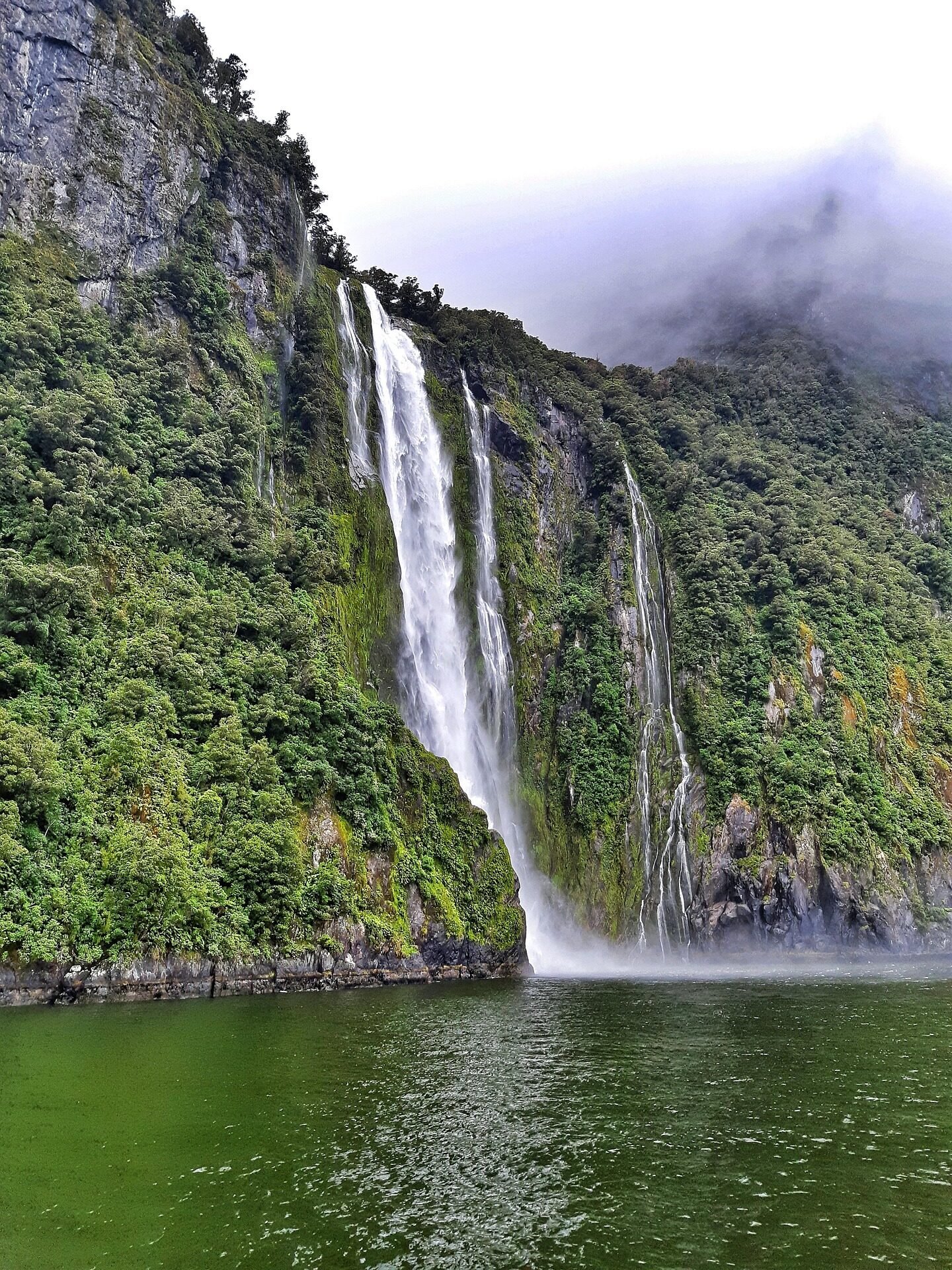
Milford Sound / Piopiotahi is a glacier-carved fiord within Fiordland National Park and the Te Wāhipounamu South West New Zealand World Heritage Area. Steep mountains rise directly from the fiord, and conditions can shift quickly between clear views, rain, mist, and waterfalls.
Insider Tips for Milford Sound
- Weather: Rain can produce temporary waterfalls; clearer weather can reveal more of the surrounding peaks
- Compare bookings: Check each operator's live price, duration, vessel, inclusions, and cancellation terms
- Departure time: Schedules and demand vary, so choose a sailing that works with your road or coach timing
- Photography: Protect your gear and expect the view to change quickly
- Bowen Falls: View the falls from a cruise. DOC lists the separate Bowen Falls Walk as permanently closed because there is no public boat-access service, so do not plan on it as a pre-cruise walk.
Key Features
Mitre Peak / Rahotu: This distinctive mountain rises steeply above the fiord and is a defining part of the view from the Milford foreshore and cruises.
Waterfalls: Bowen Falls and Stirling Falls are prominent permanent falls. Rain creates many temporary cascades on the surrounding cliffs.
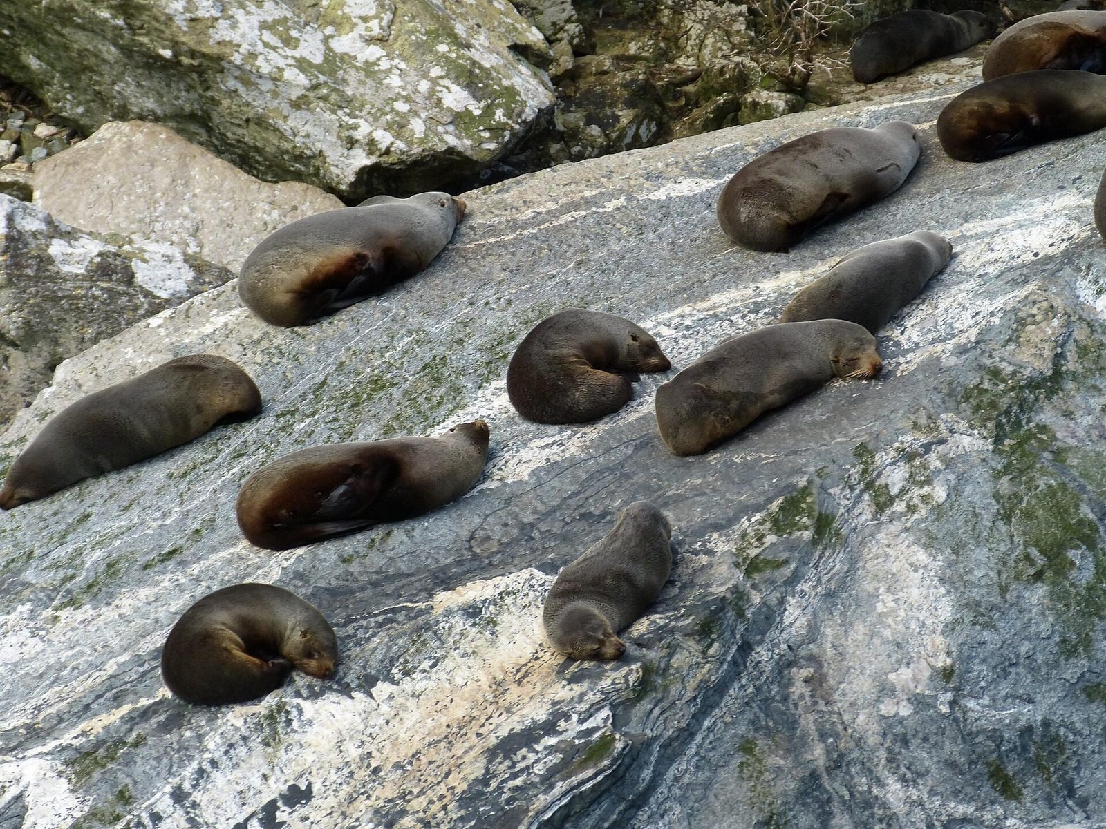
Wildlife: New Zealand fur seals are commonly seen around Milford Sound. Dolphins, tawaki/Fiordland crested penguins, and other wildlife may also be seen, but sightings are never guaranteed. Underwater, the tannin-stained freshwater layer helps black coral grow at unusually shallow depths.
Visiting Milford Sound
Distance from Te Anau: The Milford Road (State Highway 94) is about 118-120 kilometres each way. Allow at least 2-2.5 hours one way in good conditions and longer for stops, traffic, or changing weather.
The Milford Road Journey: Possible designated stops include Mirror Lakes, Knobs Flat, Lake Gunn Nature Walk, The Divide, Monkey Creek, and The Chasm when open. Treat Homer Tunnel as a transit or delay point, obey no-stopping and avalanche-area signs, and check DOC and NZTA notices before relying on any stop.
Cruise Options: Multiple operators offer scenic and nature-focused cruises of different lengths, plus limited overnight options. Prices, vessels, inclusions, and seasonal schedules change, so compare the live operator listings before budgeting or booking.
When to visit: Conditions differ by the day rather than following a guaranteed “best” time. Check the road, forecast, sailing availability, and daylight together, and keep a backup plan if conditions change.
Important Notes: The road can close due to avalanche risk, flooding, snow, crashes, or road works. Check the Milford Road Planner before travelling. Fuel and other services beyond Te Anau are limited, so fill up in town and do not rely on being able to refuel at Milford Sound. Cell coverage is patchy and sandflies are common.
Compare cruises, day trips, and scenic flight combos from Te Anau.
Common Mistakes to Avoid
- Carry food and water; Milford Sound has limited food service and no grocery store
- Carry insect repellent and suitable layers
- Download what you need before leaving because mobile coverage is limited along much of the road
- Drive to the conditions and allow enough time that you never need to rush
- Compare cruise duration, vessel, accessibility, inclusions, and cancellation terms—not price alone
Doubtful Sound - The Sound of Silence
Doubtful Sound/Patea is a large, remote Fiordland fiord normally reached through a multi-stage journey from Manapouri. Its scale, three arms, and limited road access create a different experience from Milford Sound/Piopiotahi; compare the current journey, duration, and accessibility before choosing between them.
Unique Characteristics
Size and Depth: Doubtful Sound extends roughly 40 kilometres inland, has three distinct arms, and reaches more than 400 metres deep. DOC describes it as Fiordland's deepest fiord.
Rainfall and waterfalls: Heavy rainfall feeds temporary waterfalls and creates a low-salinity surface layer over the seawater. The dark, tannin-stained water helps some deep-water species, including black coral, live at unusually shallow depths.
Wildlife: Bottlenose dolphins, New Zealand fur seals, tawaki/Fiordland crested penguins, and other wildlife may be present. Populations and sightings change, so no particular species or encounter is guaranteed.
Accessing Doubtful Sound
The Journey: Standard visitor trips normally combine travel to Manapouri, a boat crossing of Lake Manapouri, a coach journey over Wilmot Pass, and a cruise from Deep Cove. Exact departure points, transfers, times, and inclusions vary, so follow the current operator itinerary.
Day Cruises: Full-day trips combine the Lake Manapouri crossing, Wilmot Pass coach journey, and a cruise of Doubtful Sound. Exact duration, departure point, inclusions, and prices vary by operator and season, so check the current itinerary before booking.
Overnight Cruises: Overnight options may include meals, cabin accommodation, kayaking, and time on the fiord at dawn and dusk. Inclusions, operating dates, and prices change, so compare the live trip details before booking. Browse and book experiences here.
Manapouri Power Station: The underground hydroelectric power station is part of the landscape and history of the journey, but visitor access inside the station is closed indefinitely. Current Doubtful Sound trips do not include an underground power-station tour.
Day cruises and overnight experiences through this remote wilderness fiord.
Te Anau Glowworm Caves
The Te Anau Glowworm Caves are a magical underground world accessible only by boat from Te Anau. These caves, carved by an underground river, are home to thousands of glowworms that create a stunning bioluminescent display.
Cave Features
Geological Formation: The caves are relatively young in geological terms, only about 12,000 years old. They were formed by the underground Tunnel Burn stream carving through limestone. The caves continue to evolve, with the underground river still actively shaping the caverns.
Glowworms: The caves are inhabited by thousands of Arachnocampa luminosa, a species of fungus gnat found only in New Zealand. The "glowworms" are the larval stage and use bioluminescent light to attract prey into sticky silk threads. Visitors must remain silent in the grotto and follow the operator's rules.
Underground Waterfalls: The caves feature several underground waterfalls where the Tunnel Burn cascades through the caverns. The sound of rushing water echoes through the limestone chambers, adding to the atmospheric experience.
The Cave Experience
Tour Details: The experience begins with a scenic cruise across Lake Te Anau before guides lead small groups into the cave system. Prices and departure times change, and younger children need to be comfortable staying quiet in the glowworm cavern, so check the current RealNZ trip details before booking.
Inside the Caves: The tour includes walking through limestone passages while guides explain the geology and ecology. You'll see the underground stream and waterfalls before boarding a small boat for a silent drift through the glowworm grotto. In complete darkness and silence, thousands of glowworms create a stunning display resembling a starry night sky.
Practical information: Departures and operating dates can change. The caves are cool and damp, so take a warm layer. Photography is not permitted in the glowworm grotto. The experience includes steps, walking, low rock overhangs, and a small boat; check the operator's current accessibility information if anyone in your group has limited mobility.
Booking: Tours are operated by RealNZ and depart from its Te Anau lakefront visitor centre. Check in advance during peak season because departures can sell out.
Cruise across Lake Te Anau and explore the magical underground glowworm grotto.
Pro Tips for Glowworm Caves
- Departure: Check the live schedule and allow enough time for check-in
- What to wear: Take a warm layer and suitable footwear for cool, damp conditions
- Photography: Follow the no-photography rule in the glowworm grotto
- Booking: Check live availability rather than relying on a fixed booking window
- Packages: Compare any combination offer with the separate live prices and inclusions
Te Anau is the calm centre between underground rivers, lake light, and exposed ridgelines.
Plan attractions as a sequence rather than a checklist: a cave or lake day, a fiord day, then a track or lookout when the weather opens.
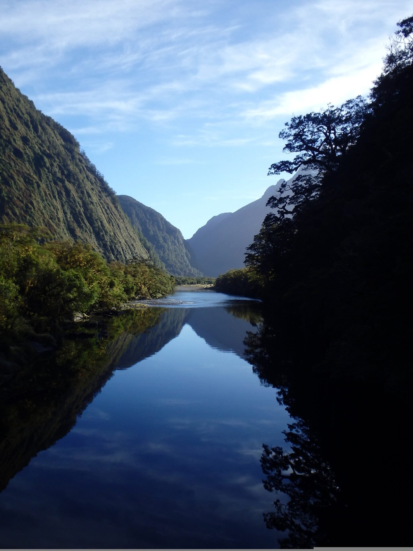
Kepler Track - Great Walk
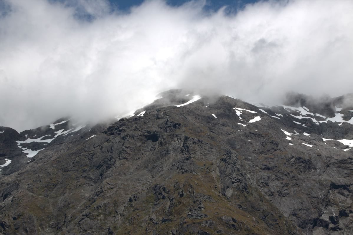
The Kepler Track is one of New Zealand's Great Walks, offering a 60-kilometer loop through some of Fiordland's most diverse and spectacular landscapes. Purpose-built in the 1980s to relieve pressure on the Milford and Routeburn Tracks, the Kepler has become a classic in its own right. For the full comparison of Kepler, Milford, Routeburn, and live DOC alerts, use the Great Walks guide.
As an attraction, the Kepler matters because it begins so close to Te Anau. Even if you are not doing the full 3-4 day loop, short sections like Brod Bay, Rainbow Reach, and the Control Gates give visitors a taste of Great Walk country without needing hut bookings.
Compare Kepler details, day-walk options, DOC alerts, and official booking links.
Lake Te Anau
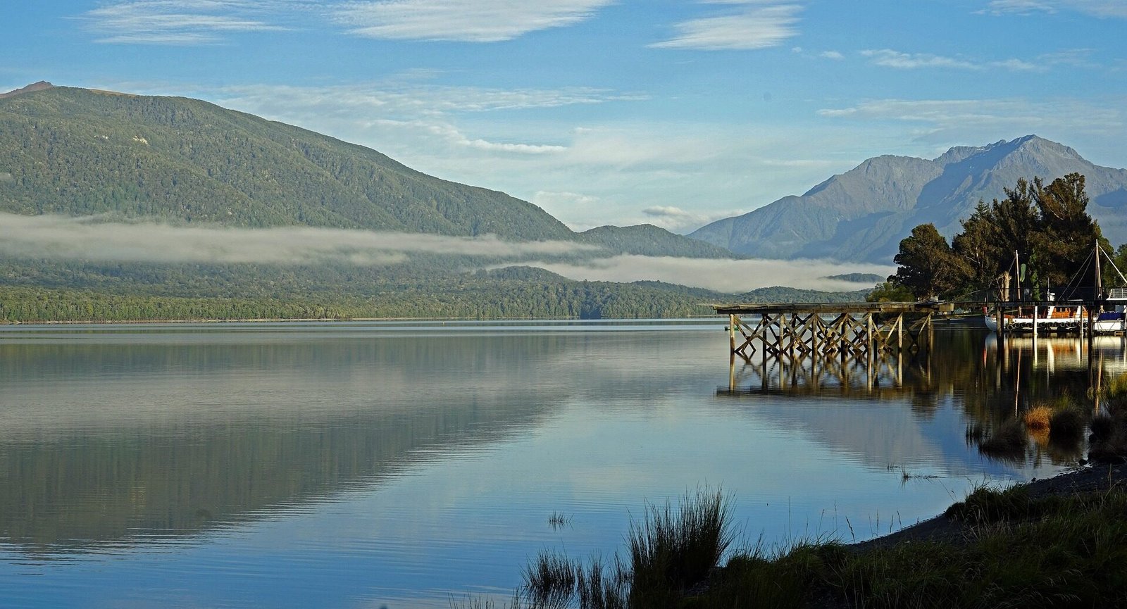
Lake Te Anau is New Zealand's second-largest lake, covering about 344 square kilometres with a maximum depth of about 417 metres. Published interpretations of the fuller name Te Ana-au vary; see the history page for a careful summary rather than treating one English translation as definitive.
Lake Features
Geography: The lake has three arms—North, Middle, and South—extending into the mountains. Glaciers shaped the basin and these fiord-like arms, which are fed by rivers and streams from the surrounding ranges.
Surrounding Mountains: The Murchison Mountains/Te Puhi-a-noa rise west of the lake and hold the largest wild takahē population. Much of the range is a specially protected area where public access is by permit, so it is not a general visitor hiking destination. See DOC's current takahē information.
Islands: Lake Te Anau contains named islands including Centre Island and Bute Island. Access and conservation status vary, so check current charts and DOC information rather than assuming an island is open to visitors.
Activities on Lake Te Anau
Kayaking: Paddling may be possible through current local operators or for suitably experienced, properly equipped independent paddlers. Lake weather, wind, cold water, and distance from help matter; check the forecast, current hire or tour availability, and safety advice before setting out.
Fishing: Lake Te Anau and nearby rivers have trout fisheries. A current Fish & Game licence is required, and season, method, access, and protected-area rules differ by waterway; check the current fishing regulations before choosing a location.
Boat trips: Current options can include the glowworm-cave crossing, scenic cruises, water taxis, and private charters. Routes, durations, operating dates, and wildlife sightings vary, so use the operator's live itinerary.
Swimming: Lake Te Anau is cold and exposed, and conditions vary with weather, wind, waves, currents, water quality, and sudden drop-offs. There is no blanket assurance that a beach is safe. Check current local advice and signs, choose a sheltered location, and supervise children closely.
Lakefront Walks: The Te Anau lakefront features a scenic walkway perfect for strolling, jogging, or cycling. The path offers beautiful lake and mountain views with numerous benches and picnic spots. Particularly beautiful at sunrise and sunset.
Fiordland National Park
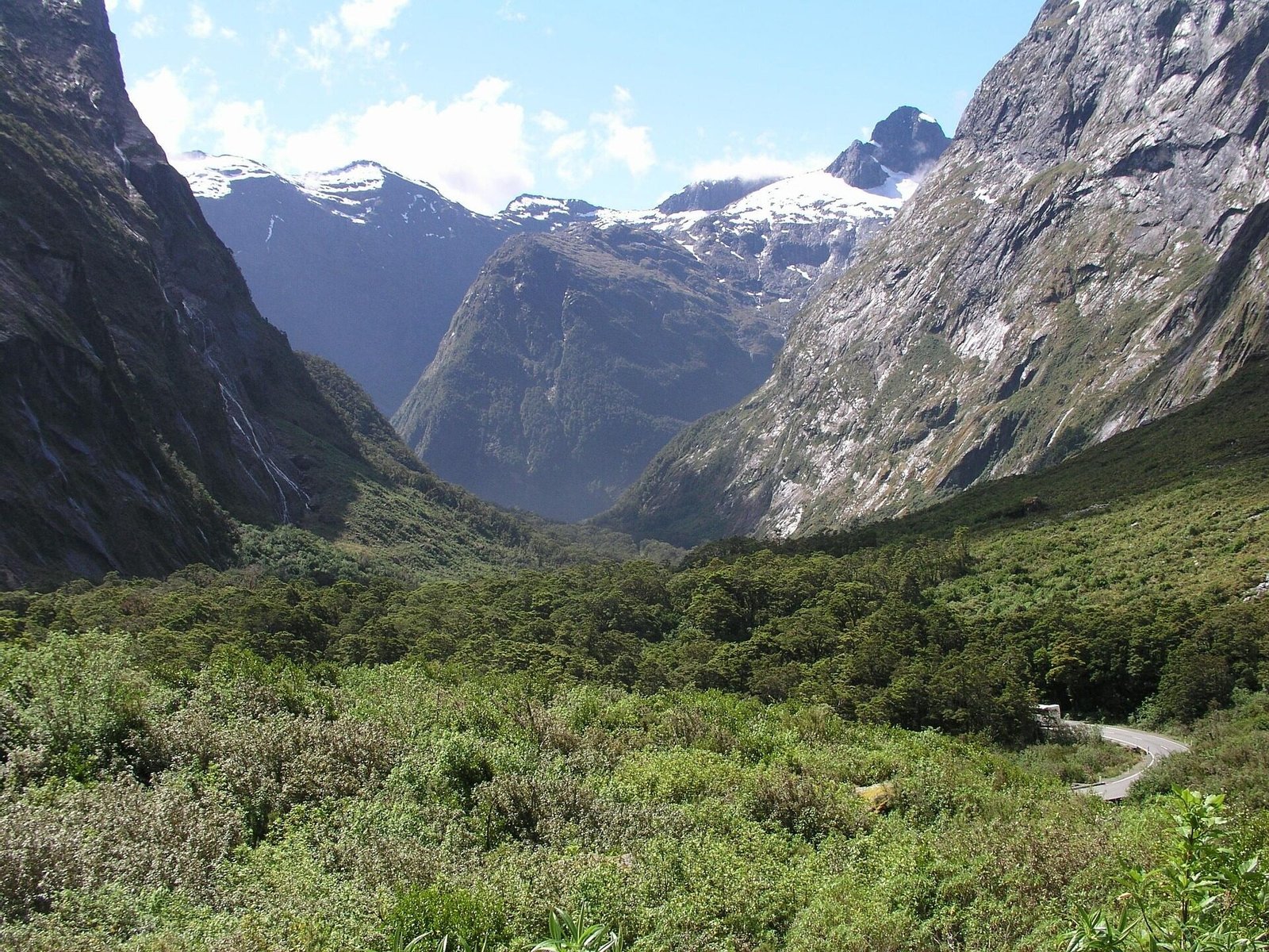
Fiordland National Park is New Zealand's largest national park, covering more than 1.2 million hectares. It was constituted in 1952, recognised as a World Heritage Area in 1986, and became part of the wider Te Wāhipounamu – South West New Zealand World Heritage Area in 1990. See DOC's park overview and the UNESCO listing.
Park Features
Landscape: The park encompasses dramatic fiords, ancient rainforests, alpine peaks, pristine lakes, and powerful waterfalls. Glaciers carved the landscape during ice ages, creating the distinctive U-shaped valleys and fiords. Mountains rise directly from sea level to over 2,700 meters.
Climate: Fiordland is exceptionally wet, although rainfall varies substantially across the park. Rain supports temperate rainforest and creates temporary waterfalls; conditions can change rapidly, so use a current forecast and prepare for cold, wet, and windy weather.
Flora: The park protects extensive beech and podocarp forest, wetlands, and alpine vegetation. Ferns, mosses, and lichens are prominent in the wet forest, while plant communities change with altitude and exposure.
Fauna: Fiordland supports threatened wildlife including wild takahē in the Murchison Mountains/Te Puhi-a-noa, kea, mohua/yellowhead, whio/blue duck, tawaki/Fiordland crested penguins, marine mammals, and many other native species. Where and whether visitors can see them varies; follow DOC guidance and never approach or feed wildlife.
Exploring Fiordland National Park
Great Walks: The main Te Anau-facing Great Walks are the Kepler Track, Milford Track, and Routeburn Track. Hump Ridge is also part of the official Great Walk family in Southern Fiordland, but is usually planned from Tuatapere. See the Great Walks & DOC Alerts page for the practical comparison.
Day walks: Options include Key Summit, Lake Marian, Gertrude Saddle, and shorter Milford Road walks, but access and risk differ substantially. Lake Marian and other tracks can close after storm damage; Gertrude Saddle is an expert alpine route, not a routine short walk. Use the current DOC track page, alerts, weather, and your group's skills before choosing one.
Fiords: Milford Sound and Doubtful Sound are the most accessible fiords, but the park contains 14 in total. Other remote fiords include Tamatea/Dusky Sound, Breaksea Sound, and George Sound. Access varies and may involve boat or aircraft travel or expert multi-day tramping routes; check the specific DOC place or track page.
Conservation: The park faces ongoing conservation challenges including invasive species (stoats, rats, possums) that threaten native birds. DOC operates extensive predator control programs. Visitors can help by checking for seeds and insects before entering the park, staying on marked tracks, and reporting any pest sightings.
Visitor Information
DOC Visitor Centre: The centre provides current track information, weather forecasts, maps, tickets, and conservation information. It is temporarily operating from 26 Town Centre until the Lakefront Drive refurbishment is expected to finish in October 2026. Current hours are Monday-Saturday 9am-12pm and 1pm-4pm, with Sunday closed; check the official visitor centre page for last-minute changes.
Safety: Fiordland's weather is unpredictable and can be severe. Always check forecasts, carry appropriate clothing and equipment, and inform someone of your plans. Cell phone coverage is limited or non-existent in most of the park. Carry a personal locator beacon (PLB) for multi-day trips.
Permits and Bookings: Booking requirements vary by track, hut, campsite, and date. Check the current DOC page for every overnight stay; day walks usually do not require a booking, but alerts and access rules still apply. Hunting and fishing require the appropriate current permits or licences.
Other Notable Attractions
Punanga Manu o Te Anau/Te Anau Bird Sanctuary
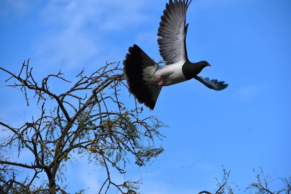
This free, self-guided sanctuary on the Lake Te Anau shore is home to resident takahē and supports conservation programmes. The birds held there can change, so check the official sanctuary page for the current collection, opening information, and visitor guidance.
Mirror Lakes
Mirror Lakes are about 56 km from Te Anau on the Milford Road. DOC describes a roughly 10-minute accessible boardwalk beside small tarns that can reflect the Earl Mountains when the water is calm. The signs are installed upside down so they read correctly in a reflection. Check the current road and facility notices before stopping.
The Chasm
When open, The Chasm is a short Milford Road stop where the Cleddau River has carved potholes, bowls, and smooth curves through rock. Access can close for construction or flood-recovery work, so check the current DOC notice below rather than assuming the walk or car park is available.
Lake Manapouri
Lake Manapouri lies about 20 km south of Te Anau and is the starting point for standard Doubtful Sound/Patea visitor trips. The West Arm hydroelectric power station is part of the lake's modern history, but visitor access inside the station remains closed indefinitely. Check current operators for any lake cruise, paddling, or water-taxi options.
Mavora Lakes
North and South Mavora Lakes are reached from SH94 by about 39 km of gravel road; DOC advises allowing about 1 hour 30 minutes from Te Anau. The conservation park has walking, cycling, fishing, and booked camping options, and was used for scenes in The Lord of the Rings. Check the current DOC access, campsite, fire, and vehicle rules before travelling.
Attractions FAQ
Yes. Treat it as a full day: NZTA says the roughly 120 km drive takes at least two hours each way without stops, and you also need time for road stops, check-in, the cruise or activity, traffic, and changing conditions. Build the day around your operator's current check-in time and the live SH94 status rather than fixed departure and return hours.
The Te Anau Glowworm Caves combine a boat ride across Lake Te Anau with a guided cave walk and a silent drift through the glowworm grotto. Check RealNZ for current duration, availability, suitability guidance, and pricing before deciding whether it fits your trip.
They suit different plans. Milford Sound/Piopiotahi is reached by SH94 and offers road stops plus several cruise options. Standard Doubtful Sound/Patea trips use a Lake Manapouri crossing and Wilmot Pass coach connection, making them a longer, multi-stage journey. Compare current duration, price, accessibility, weather terms, and the kind of day you want.
The full 60km Kepler Track requires solid fitness and backcountry preparation. Shorter options include Brod Bay return (11.2km, about 3 hours) and the very strenuous Luxmore Hut return (27.6km, roughly 10-12 hours). DOC advises that the alpine track is challenging outside the Great Walk season, so check current conditions and choose a walk that fits your skills.
People do swim in the lake, but safety cannot be guaranteed by season or beach. The water is cold and exposed, with changing wind, waves, currents, water quality, and drop-offs. Check current local advice and signs, choose a sheltered spot, and supervise children closely.